Following the way pointed by D towards the Santiam-McKenzie divide (cf. Wiley Calapooia Loop), The logging Road Cyclist immediately got to work with his Sweet Home Ranger District map and found an obvious goal: Tidbits Mountain. Sitting at the top of (counterclockwise from north) Canyon Cr., the Calapooia, and a number of big, steep canyons that feed into Blue River, Tibits is accessible by some single track, after paying the entrance fee of a long gravel slog. Tidbits itself was recommend by various sources as a nice hike with a rewarding view, so TLRC figured at the least he’d haul El Mariachi over a few miles of trail, and perhaps get to ride some, with luck.
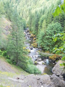
Leaving the truck at the bottom of the 2032 Rd., TLRC scrambled down Hwy 20 to Canyon Cr. early in the morning before the death traffic could get him, and while the morning sun lit him up and didn’t interfere with drivers’ vision. Turning up Canyon Cr. on the 2022, TLRC got to relive some old boating memories.
Canyon Cr. is the closest serious class V run to Corvallis, and TLRC did it with some local boating celebrities about 15 years ago. This was after TLRC had spent ten or so years open boating with the wives. Not only had he been out of a kayak for that time, but the world had moved on. Shorter, safer boats were the rule, and TLRC soon realized he was nowhere near the top of the boating heap anymore. Canyon was the first real thing he had run in all that time and it was an eye opener. While scouting the biggest scary rapid, TLRC must have looked concerned. One of the celebrities, whom TLRC had known slightly during The Glory Days of yore came up and said quietly: “No, we didn’t use to run things like this.”, which TLRC took as an act of kindness, and a change from the usual, male, devil-take-the-hindmost attitude one encounters on this sort of run. It turned out not to be so bad. The new boats helped.
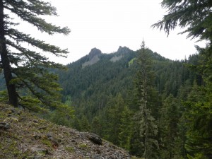
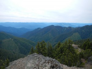
TLRC knew it would be a pull up to Tidbits, so he got into his climbing zen. The ride was mostly through surprisingly nice forest, which helped, since it turned out to be basically 20 miles and about 4000′. Navigation was straightforward here with well-marked roads whose numbers corresponded with the map. After a while, the Objective hove into sight:
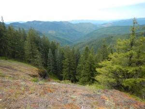
There was a great view down into the Calapooia as well:
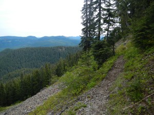
The trail was certainly rideable, except for a few downed logs that were easy to get over. TLRC rode as much as he felt he could and still have enough oomph left for the end of the ride.
After a while the summit trail branches off to the right. Stashing the bike, TLRC joined some hikers at the top.
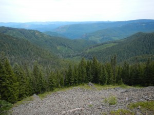
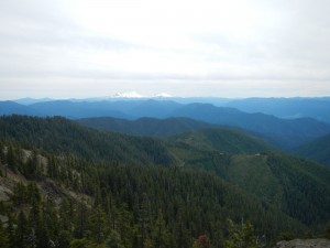
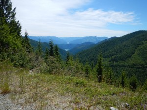
Beyond the summit trail are some rocky sections above long, steep talus. All of this is rideable, but not by TLRC. Soon an indistinct trail junction appeared. TLRC had planned to take the eastbound branch directly to the 1509 Rd., but the trail was so overgrown and under-maintained that after a 1/4 mile or so he called it quits and headed down the main trail to meet the 1509 on the Blue RIver side of the divide. A short, very steep branch road lead down from the trailhead to the 1509, where TLRC turned left. Unfortunately, this road, while “obviously” being the correct one, was unsigned in this section. Having played this game before, and not at all wanting to have to retreat back over Tidbits, TRLC got more and more worried as the road rolled along, gradually losing elevation that would have to be painfully recovered if, as so often in the past, he was wrong about it. Nevertheless, the views were spectacular. The road contours along the headwaters of a number of tributaries of Blue River, which are amazingly rugged and steep.
After 5-6 miles of stomach tightening uncertainty, TLRC found the intersection with the trail not taken from the top, proving that this was in fact the needed 1509 Rd. Pumping his fist in relief, he headed off for the next goal, Bear Pass.
Just about then, TLRC was starting to feel pretty tuckered out, and pretty mad at himself for feeling like this after only 30 miles or so. He was slow on all the climbs to Bear Pass, above the 15 mile (pretty much) downhill slide to the car. He stopped and sat stupidly in the sun, eating and drinking and wondering if this was aging or a lack of fortitude. Collecting himself, he rattled on down to the car, thinking how much more cushy the 29er was that the old DeSalvo.
This is a wonderful, scenic and adventurous ride, and tougher than it looks. On getting home and viewing his track, TLRC felt better about himself. The ride is 48 miles long, and since the last 15 are downhill, one climbs most of its 7500 feet in the first 33 miles, which TLRC thought was reason enough to feel tired.

