Bisecting the line connecting the towns of Alsea and Triangle Lake lies the Prairie Mountain massif. Here is where TLRC cut his teeth on adventure gravel riding, learning the hard way such elusive skills as carrying a map, food and sufficient clothing for winter riding. In fact, TLRC marvels at how a seasoned outdoorsman of his advanced age thought it reasonable to launch himself into a traverse of the unknown Prairie Mountain, relying only on a sense that he could “figure out” where the roads went. At any rate, the Prairie Mountain road system, once forced to reveal its secrets, via maps, provides a number of interesting rides, being documented this winter!
It took a while for TLRC to develop these rides. The road system is complicated and the area is large. There is a lot of up and down which can discourage lightheartedly dropping into an unknown deep late on a winter’s day. It was here that TLRC developed The Fundamental Axiom. It also took a while to get maps for the area that were worth anything at all. One December day, TLRC started at Tobe Cr. and wound up 2/3 of the way to Triangle Lake as the sun was descending. Facing the prospect of calling an unamused (if Long-Suffering) Girlfriend and whining for a ride, TLRC sucked it up and got back to his car just before dark, vowing to get maps. The BLM transportation maps, available by telephone from the BLM in Salem mostly do the trick. So the next year, in December, as TLRC was happily dropping down from the Summit into Lobster Cr., when the logger he encountered said with a smirk “So you know the roads back here, huh?”, TLRC could look smug and say: “Yep.”
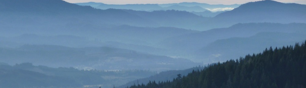
Like Mary’s Peak and many other prominences within Oregon’s Spectacular Coast Range, Prairie Mountain owes its existence to a caprock of a very hard, erosion-resistant rock called gabbro. Chemically equivalent to the more common (around here) basalt, gabbro was injected into existing rock layers 30-40 million years ago and protected the softer underlying rocks from erosion, thus leaving us the various high Coast Range peaks in our area: Prairie, Grass Mountain, Mary’s Peak, all the peaks in the Laurel Mountain area above Monmouth and many more (even Dimple Hill!).
I know, blah blah blah. But, since TLRC is devoted to finding ways up and around all the local high spots, the importance of gabbro sills is NOT to be misunderestimated. Indeed, they are Life itself!
To the rides.
1) Prairie Mountain Loop (32 miles, 4200′).
2) Ride Around Prairie Mountain ( 43 miles, 3900′)
3) Prairie Mountain Traverse (25 miles, 4000′)
4) Prairie Mountain, East Summit (26 miles, 4000′)