
Barred Owl beside “Alien Trail”
Corvallis residents and visitors are fortunate to have this large tract of Oregon State University forest land close at hand. Besides the many mountain bike trails, there are miles of excellent gravel riding to be had. With a bit of ingenuity, it would probably be possible to string together a route with more miles and elevation gain than one would want to ride in a day. There are also many shorter routes that connect the roads with well-graded trails. One of the major entry points to MacDonald Forest is the Oak Creek parking area. Road and trail maps are available here.

Oak Creek Access
The most important prominences in MacDonald Forest are McCulloch Peak and Dimple Hill.

View South from Dimple Hill
While riding here, especially near Oak Creek, remember that this can be a very heavily used, multiple purpose road/trail network. There are often equestrians, pedestrians (many with children or dogs, both off leash), and groups using the Forest for OSU classes. Please be courteous and moderate your speed. There have been cyclist/others conflicts in the past, and we (cyclists) do not own the place.
This is the stomping ground of The Logging Road Cyclist. Before starting to venture further afield, TLRC spent countless hours mountain biking here before becoming decrepit enough that gravel was all he could do. So gravel he did. Here, in no particular order are some rides that are TLRC faves.
1) Happy Trails (gpx) (13mi, 2400′): Oak Cr.-Dimple Hill-Dan’s Trail-Horse Trail-Alpha Trail-Alien -Uproute-Oak Cr. This is a particularly nice ride in that it covers a number of trails. What used to be called Alien is now a graded, but rocky road (870) that connects the 800 Road with the 680 Road near Uproute.
2) People often ask: “TLRC, how can you eat like a pack of starving dogs let loose in a butcher shop and still keep your girlish figure? And at your advanced age, no less?” TLRC gives them his enigmatic smile, pops another iced animal cookie into his mouth and says: “Richard Simmons (gpx) (15mi, 2900′)”. This is TLRC’s midweek workout ride. It starts with a big climb from Oak Creek to McCulloch Peak (also done like this or the first 4 1/2 miles of this). For more stress, time yourself. The local elite reckon 45 minutes a respectable time.

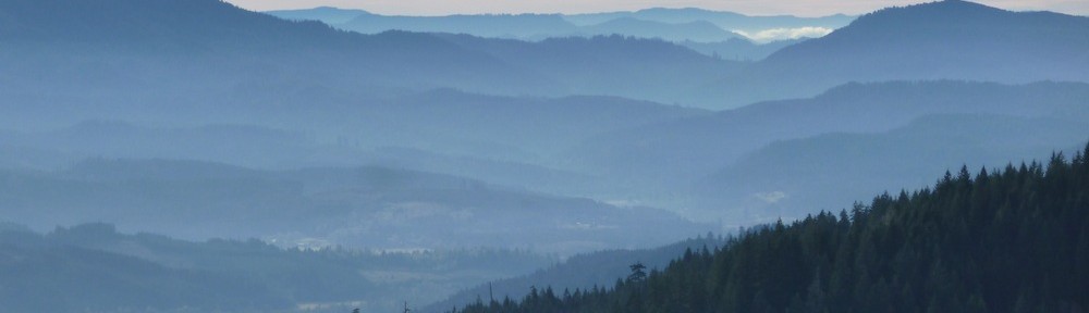
View North towards Forest Peak from the 680 Road.

Dimple Hill and the far hills SE from McCulloch Peak

Willamette Valley South from McCulloch Peak
For better views than McCulloch Peak offers, take the short side trip to Hill 2024, up the steep road that branches north at the 700-790 intersection. This peak is only 100′ lower than McCulloch and is less overgrown.

View East towards Albany from Hill 2024. Note Willamette River visible on the left side of the picture.
TLRC must excuse himself, but: When lava is extruded from underwater vents, the rapid cooling produces “pillow lavas”, rocks with a distinctive and characteristic appearance- like pillows. When you see pillow lavas, you know for sure that (among other things) they used to be under water. Hill 2024 has a beautiful quarry exposure of pillow lavas, meaning what is now here has a past that was more watery even than now.

Pillow lavas exposed in the quarry on Hill 2024. Imagine a pile of rocky pillows cut in half to expose this wall.
From this high ground a rapid descent down the 700 and 760 Roads leads to Sulphur Springs whence you cross the bridge at the Baker Cr. trail and head up to Alpha trail, a sustained and steep climb. A quick rolling climb to Dimple Hill and downhill back to Oak Cr. completes the loop.
3) Mac/Dunn Misery Whip (38 mi, 8200′) (gpx)
4) Kings Valley Loop (gpx)
5) Outback (20.4 mi, 3400′) (gpx) This is a great ride with some steep and sustained climbing, and perhaps the best views in the area, depending on the weather and state of the clear cuts. There is very nice exposure of pillow lavas in a quarry up on the Price Cr.- Maxfield Cr. divide.